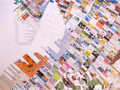
Watershed Relief Map Presentation
Queens Museum Flushing Meadows Corona Park, Queens, NY, United StatesNew York City hosted the 1939 World's Fair in Flushing, Queens. To show off the city's water system that tapped mountain springs as far as 100 miles away, the Cartographic Survey Force, a branch of the Works Progress Administration, constructed a 3-dimensional model of the system out of wood and plaster for @ $100,000 (about $1.5 million in today's dollars).
You can now see the map for yourself and hear about its story from NYC water educator Matt Malina.

