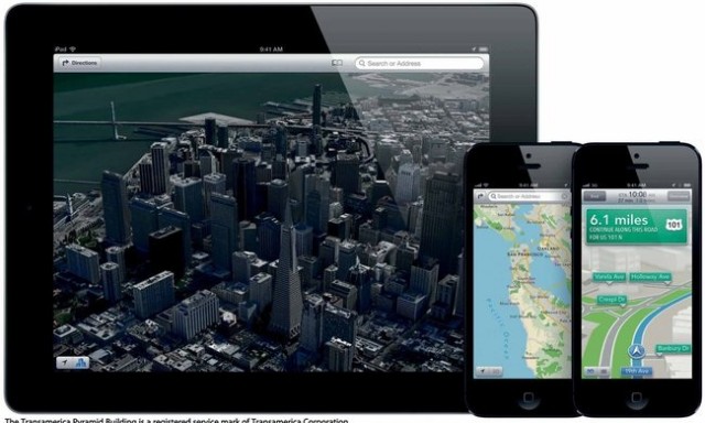
The new operating software for Apple‘s iPhone, iPod Touch, and iPad was released on Wednesday, September 19th in close conjunction with the release of the iPhone 5 on Friday, September 21st. Users of the new operating system, especially those in urban areas, have noticed one glaring omission: the map service in Apple’s iOS 6 has dropped its public transit feature. The button for public transit is still present, but it simply leads to a referral page that recommends apps for public transit directions. All iPhones had previously included a map system designed by Google, on which public transit directions were readily available. With the most recent update to the software, however, Apple has introduced its own map, designed in-house.
Apple’s map does have a few features that Google’s map does not provide, such as turn-by-turn directions and Flyover, a feature that gives users a view of 3-D models of major city skylines. Apple has acquired three mapping companies in the last three years in an effort to enhance its own map features as it planned the move away from Google. Nonetheless, industry insiders seem to be in consensus that it will be a few years before Apple’s map software stacks up to Google’s. By making the process of finding environmentally-friendly transportation more difficult for travelers and city-dwellers alike, these developments could make iPhone users more likely to rent a car or simply hail a cab. From a sustainability perspective, this is a step in the wrong direction.
But green-minded travelers, especially those new to the city and unfamiliar with its bus and subway systems, need not despair: with Apple’s encouragement, several apps have stepped up to provide quick, convenient, and usually free mass transit directions to iPhone users. Garmin, a leader in the personal GPS industry known for its in-car navigation systems, is in the process of updating its StreetPilot Onboard iPhone application to include public transportation data. Embark, a company that designs mass transit apps for the iPhone, has released a lineup of apps, including apps for the NYC Subway, NJ Transit, Metro-North, and LIRR, all of which are available for free. In addition, popular free mass transit apps such as Hopstop and NYSubview are likely to see increased usage as a result of the Apple map’s app referral page. Whether Apple will create its own public transportation data on its map system or continue to rely on third-party apps remains to be seen. The important thing for iPhone users to remember is that even with the changes that come with Apple’s iOS 6 operating system, sustainable travel is still easy thanks to free mass transit apps.
Photo: NYTimes.com
