Ever since Hurricane Sandy touched ground on the East Coast, phrases like climate change, flooding, and flood protection have expanded exponentially in terms of media attention. Perhaps the biggest question on everyone’s mind is how to prepare for the next storm. Vishaan Chakrabarti, the director of Columbia’s Center for Urban Real Estate and former director of the Department of City Planning’s Manhattan Office, has several ideas to share.
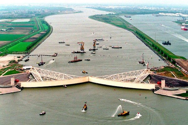
One proposal is to adopt the Rotterdam model. In the 1990s, Rotterdam erected giant sea gates, twice the size of the Eiffel Tower, at the mouth of the Rhine as a defense mechanism against storm surges. City Atlas published a piece last week about the financial viability of sea gates, specifically those built based on the Rotterdam model. Sea gates allow ships to pass easily while they are open; the gates remain closed during a storm surge, preventing flooding along streets, tunnels, and in people’s living rooms. Chakrabarti thinks NYC could use a few sea gates, particularly at the Verrazano Bridge, near Perth Amboy, and near the Hell’s Gate bridge.

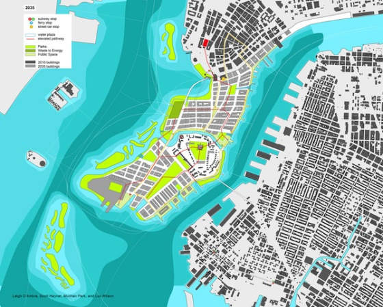
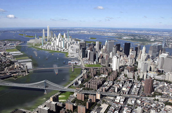
Aside from sea gates, Chakrabarti proposes using landfill to connect Governors Island to Lower Manhattan – a proposal he calls “LoLo (an acronym for Lower Lower Manhattan). The concept is to use landfill to create a barrier peninsula in the harbor, and to replace the existing sea walls around Governor’s Island with marshy land, both of which are natural barriers against floodwater. City Atlas posted about this proposal almost a year ago, but the plan is now more relevant, popular, and necessary than ever in the wake of Sandy.
The storm has made it clear that the city needs to invest in a sustainable future, and not just as preparation for emergency circumstances. Rising tides as a result of climate change are quickly becoming a reality, one that every coastal area, our city perhaps foremost among them, will need to confront.

Photos: the New York Observer
